Select a stop to see its role in the trip. Lines show planning connections, not live services, road directions or guaranteed transfers. Confirm departures and access with your operator.
Number labels are offset where needed; fine lines connect them to the actual point.
Baltra / Seymour airport
Airport reference point from DGAC. Reaching Puerto Ayora adds channel and land transfers.
-0.4539°, -90.2658° · Open geographical map ↗
Puerto Ayora · Santa Cruz
Approximate town/port anchor. Confirm the actual departure pier and reporting point.
-0.7485°, -90.3048° · Open geographical map ↗
Puerto Baquerizo Moreno · San Cristóbal
Approximate town base, not an exact meeting point.
-0.9000°, -89.6100° · Open geographical map ↗
Puerto Villamil · Isabela
Approximate town base for accommodation and local excursions.
-0.9600°, -90.9700° · Open geographical map ↗
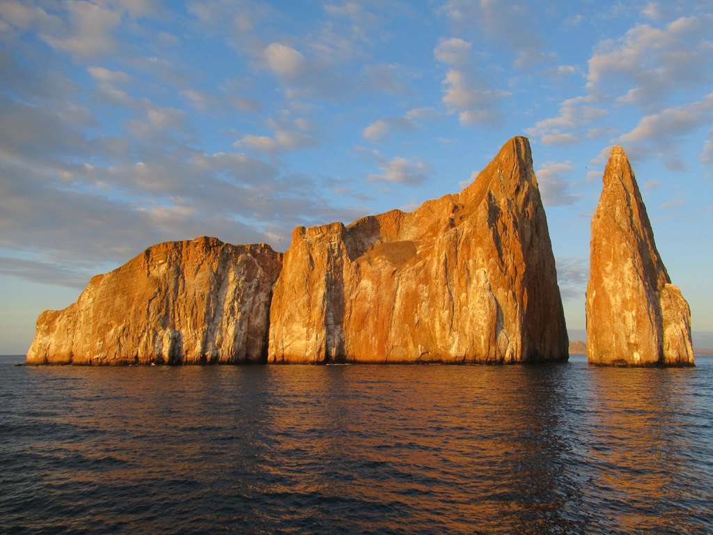
Kicker Rock / León Dormido
DPNG visitor-site reference; authorized excursion required. Not a navigation waypoint.
-0.7757°, -89.5180° · Open geographical map ↗
Isla Lobos
Guided visitor site with land and marine components determined by the actual itinerary.
-0.8551°, -89.5645° · Open geographical map ↗
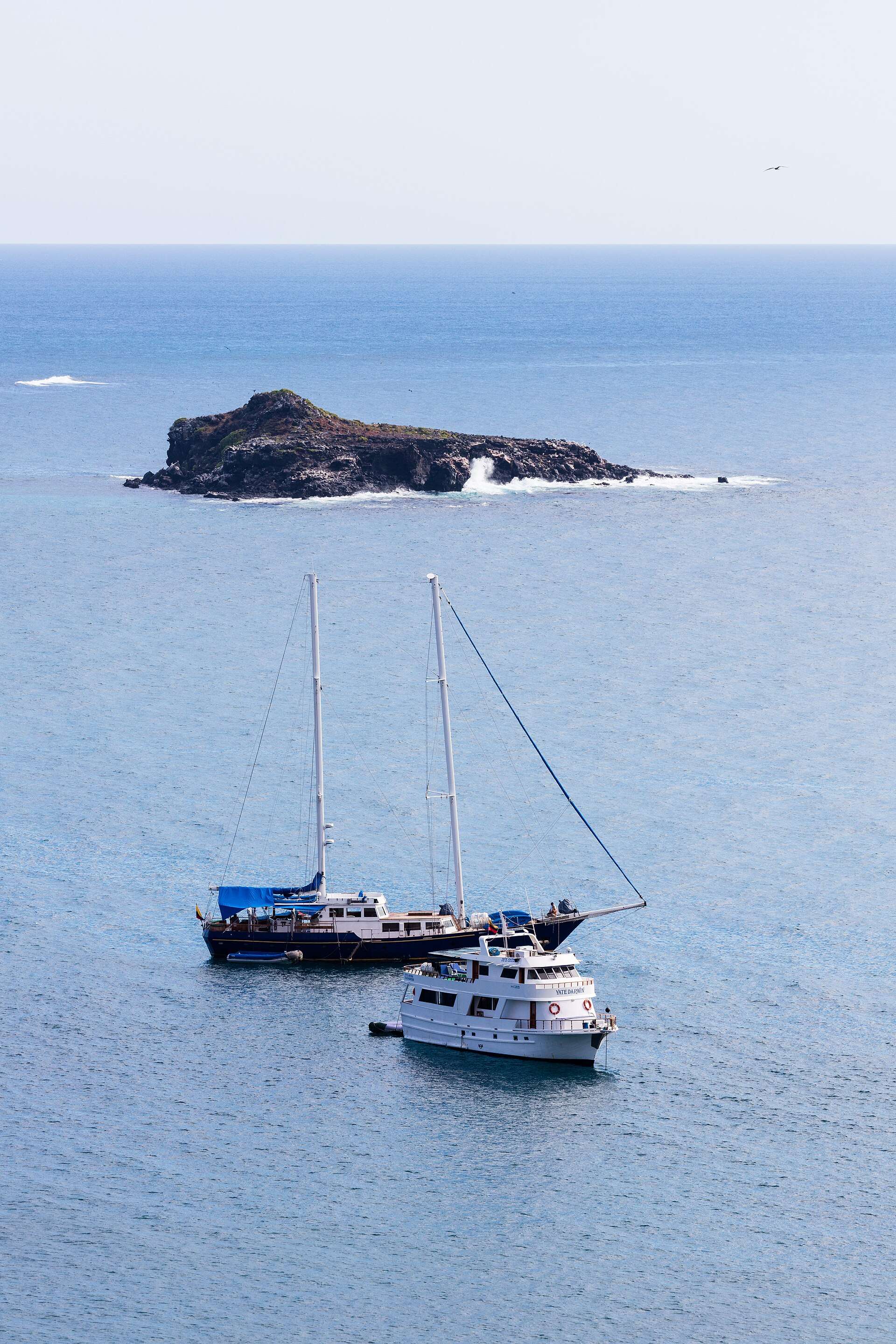
Punta Pitt
A boat viewpoint on a 360 circuit does not establish a permitted landing or hike.
-0.7131°, -89.2466° · Open geographical map ↗
Cerro Tijeretas
DPNG reference position, not turn-by-turn trail guidance. Check current access.
-0.8893°, -89.6081° · Open geographical map ↗
Interpretation Centre
Municipal visitor-directory site; confirm current visiting arrangements.
-0.8940°, -89.6095° · Open geographical map ↗
Punta Carola
Coastal reference. Beach appearance does not determine swimming suitability or access.
-0.8900°, -89.6125° · Open geographical map ↗
La Lobería
Municipal visitor-directory site; follow current ranger and water-condition instructions.
-0.9265°, -89.6124° · Open geographical map ↗
Cerro Brujo
Check whether your circuit promises a boat view, water session or permitted beach landing.
-0.7644°, -89.4589° · Open geographical map ↗
Puerto Chino
DPNG reference for highland-side route planning; confirm transport and site access.
-0.9257°, -89.4298° · Open geographical map ↗
Select a stop to see its role in the trip. Lines show planning connections, not live services, road directions or guaranteed transfers. Confirm departures and access with your operator. · Natural Earth